


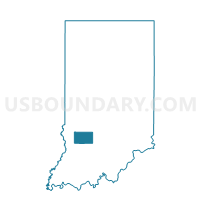
WRIGHT 03, Greene County, Indiana
About
Outline

Summary
| Unique Area Identifier | 577376 |
| Name | WRIGHT 03 |
| County | Greene County |
| State | Indiana |
| Area (square miles) | 0.36 |
| Land Area (square miles) | 0.36 |
| Water Area (square miles) | 0.00 |
| % of Land Area | 100.00 |
| % of Water Area | 0.00 |
| Latitude of the Internal Point | 39.15882840 |
| Longtitude of the Internal Point | -87.20527050 |
Maps


Graphs
Select a template below for downloading or customizing gragh for WRIGHT 03, Greene County, Indiana


